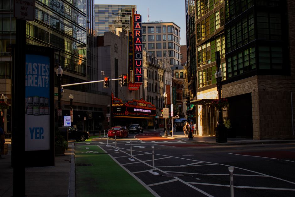
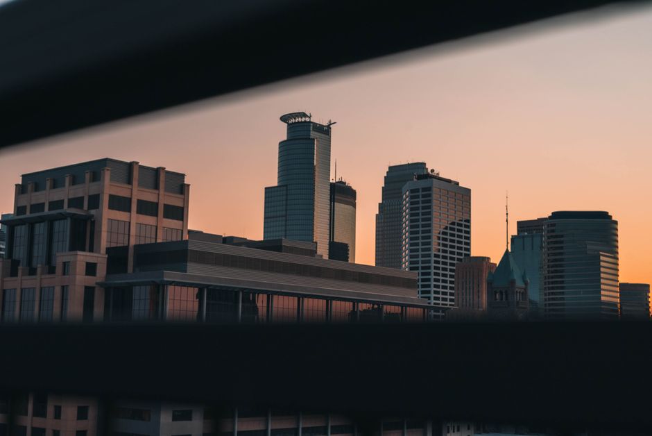
Drive down Bryant Avenue North today and you will see a block that bears little resemblance to what shows up in the city's online development portal. The storefront on the corner has been renovated. The vacant lot two doors down is now a community garden tended by residents of the Jordan neighborhood. Yet the images cycling through the Minneapolis Department of Community Planning and Economic Development's public-facing tools still show the block as it appeared years ago, in some cases, the same photograph duplicated across three or four separate property records.
The issue of duplicate and outdated imagery has quietly become a flash point in several North and South Minneapolis neighborhoods, where residents say the gap between what platforms show and what actually exists on the ground is shaping zoning hearings, grant applications, and property valuations in ways that disadvantage communities already navigating rapid change. The concern is not abstract. The Metropolitan Council's 2040 housing targets pushed Minneapolis to accelerate development review timelines, and faster reviews mean planners are leaning harder on digital records, including photographs, to make preliminary assessments without site visits.
The Problem Shows Up at Public Hearings
At a June zoning committee session at City Hall, several speakers from the Whittier neighborhood pointed to specific property records on the city portal where identical images had been tagged to different parcels on East 26th Street. One photograph, apparently taken in winter, showing snow on the ground, was attached to four separate addresses, all of which have since been substantially altered. Residents said the duplication created confusion during a recent hearing over a mixed-use development proposal, when a council aide referenced the wrong building's condition based on what the portal displayed.
The Whittier Alliance, a neighborhood organization that has operated out of offices near Nicollet Avenue for decades, has been fielding resident complaints about the imagery problem since at least early 2025. Staff there have been compiling a log of mismatched records and forwarding them to the city's 311 system, though residents report response times have been inconsistent. The Alliance has also flagged the issue to Hennepin County's property records division, which maintains its own parallel database of parcel images that does not always sync with municipal systems.
Over in the Longfellow neighborhood, members of the Longfellow Community Council raised a related concern at their May meeting: that real estate aggregator sites pulling data from public city records are republishing the duplicate images, which then surface on platforms used by prospective buyers and tenants. A two-flat on Minnehaha Avenue was listed online with a photograph of a completely different building, the duplication traceable back to a city database entry, for at least six weeks before the error was corrected, according to the council's written meeting summary from May 19, 2026.
What Residents Want Done About It
Community members who have spoken at neighborhood council meetings and submitted comments through the city's public input channels are asking for two concrete things: a formal audit of duplicate image entries in the planning portal, and a clear timeline for when the city will implement a verification step before photographs are attached to parcel records. Some have pointed to Chicago's Cook County Assessor's office, which in 2023 launched a crowdsourced image-verification program allowing residents to flag outdated or misattributed property photos directly through a public interface.
Minneapolis has not announced a comparable program. The city's 311 portal does allow residents to submit correction requests for property information, but there is no dedicated workflow for image disputes, and the standard response window listed on the portal is 10 business days, a timeline residents describe as too slow when a zoning hearing is scheduled for the following week.
For now, neighborhood organizations are advising residents who spot a duplicate or misattributed image to file through 311 and simultaneously contact their ward office directly, specifying the parcel identification number, the address, and a description of the discrepancy. The Whittier Alliance has posted a step-by-step guide on its website. The Longfellow Community Council is scheduled to revisit the issue at its August meeting, where members plan to present the city with a consolidated list of confirmed errors collected from residents over the summer.